Defense
The colony
Founding and forts
Sail the bayGuides
Language
Currency
Check datesfrom $57 · cancel for freePick-for-me guide
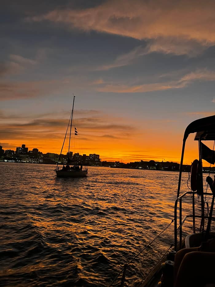
Sunset sail on Guanabara Bay
★ 4.8 · 1,051 opinions
Answer in brief
Guanabara Bay gave Rio its name when Portuguese sailors took it for a river on 1 January 1502, and its shores hold the city's founding site, colonial forts, the island of the Empire's last ball and the Rio-Niterói Bridge.
Key dates
Find your way onto the bay
Answer one or two questions and the matching trip appears.
The right fit for you
from $57
3 hours from Marina da Glória to Santa Cruz da Barra and Boa Viagem Island.
The right fit for you
from $56
3 hours past the forts to Boa Viagem Island in daylight.
The right fit for you
from $77
About 2 hours on the bay, with pickup and an optional barbecue lunch.
A Guanabara Bay boat tour crosses centuries of history in a single evening. Here is how the bay named the city, who fought over it, and what each fort, island and bridge on the horizon means.
Editorial team, riosunsetsail.com · Updated November 11, 2026 · Read in 8 min
The essentials
Every Guanabara Bay boat tour sails over a famous mistake in Brazilian geography. A traveler's guide to the city, first written by Ramiz Galvão and republished by the National Library of Brazil, records that the bay was discovered on 1 January 1502 by the Portuguese navigator André Gonçalves.1 Seeing the narrow entrance and the wide water behind it, he took it for the mouth of a river.
That is how the city got its name. The same guide says that Gonçalves took the bay for a river and so gave it the name it still carries, Rio de Janeiro, the River of January.2 There is no great river here, only the bay, fed by small streams from the hills. Yet the name stuck, first to the settlement on its shore and finally to the whole state around it, a name now known far beyond Brazil.
The people who lived here first had their own name. The guide notes that the native inhabitants called the bay Ganabara, which others write Guanabara.7 That older word survived alongside the Portuguese one and is the name the bay carries on every map today. When you sail out of Marina da Glória, you are crossing water that was named twice, once by its own people and once by sailors who misread it.
Who's who
| Landmark | Shore | Date | Story |
|---|---|---|---|
| São João fortress | Rio (Urca) | 15653 | Founding site of the city |
| Laje fort | Bay mouth | 15558 | Villegagnon's first landing |
| Santa Cruz da Barra | Niterói | 15789 | Main defense of the bay |
| Boa Viagem chapel | Niterói | 165013 | Sailors' pilgrimage |
| Ilha Fiscal | Inner bay | 18895 | Last ball of the Empire |
| Rio-Niterói Bridge | North | 197410 | Links Rio and Niterói |
| Contemporary Art Museum | Niterói | 199614 | Niemeyer's saucer |
Dates from IPHAN, the National Library, the city of Niterói, the National Archives and ANTT; Riotur dates the Santa Cruz walls to 1555.15,9
Decades after the Portuguese first sailed in, the French arrived to stay. The National Library's guide records that the Huguenot commander Nicolas Durand de Villegagnon entered Guanabara Bay with his ships on 10 November 1555.8 He landed first on the Laje, a rocky islet almost level with the sea at the bay mouth, and tried to fortify it, but the tide flooded the rock and he moved to a larger island further in.11
That island, beside today's Santos Dumont Airport, still bears his name, and the small fort on the Laje still stands in the channel. The Portuguese answer came from the shore across the water. IPHAN, Brazil's national heritage institute, says the São João fortress at Urca stands where colonists from São Vicente founded the city of Rio de Janeiro in 1565, to fight the Calvinist French who had settled in the bay ten years before.3
The federal government's own guide to the city gives the same founding year, 1565, and describes the city as the setting of many turning points in the nation's past.12 From the deck the setting makes sense at once. The founding site sits at the foot of the Urca headland, beside Sugarloaf, guarded by rock and looking straight out to sea. It is a place built for watching who comes in, and that is exactly what it was for.
Through the centuries
January 1502
A navigator takes the bay for a river mouth.1
November 1555
Villegagnon sails into the bay.8
The founding
Colonists found the city at Urca in 1565.3
The fortress
Work on the great fort begins in 1578.9
The last ball
The final imperial ball on Ilha Fiscal, 1889.5
The bridge
The bridge opens on 4 March 1974.10
The entrance to the bay was the key to the colony, and it bristled with forts. On the Niterói side stands the Santa Cruz da Barra fortress, which IPHAN says began to rise in 1578 as the main defense of the city of Rio de Janeiro.9 Riotur, the city tourism authority, dates its hand-cut stone walls to 1555.15 Both are official sources, so we give both dates and let the stones speak for themselves.
IPHAN credits the fortress with standing firm through the Dutch wars, between 1599 and 1663, and through the French attacks led by Duclerc in 1710 and Duguay-Trouin in 1711.16 In the early 18th century it became the largest fortress in Portuguese America.23 Its artillery collection runs from 17th-century cannons to coastal guns that were still in use until 1998, an open-air museum of military history.24
The fort never lost its job. IPHAN notes that until the 1950s every visitor who reached Brazil by ship passed under the watch of its garrison, and the Brazilian Army still uses it today, running its own visitor program.22,25 In a recent decision the institute listed the whole group of forts at the entrance, Santa Cruz, Praia de Fora and Imbuhy, together with the hills and beaches that form the landscape of the bay mouth.26
The eras of the bay
Defense
Founding and forts
Sail the bay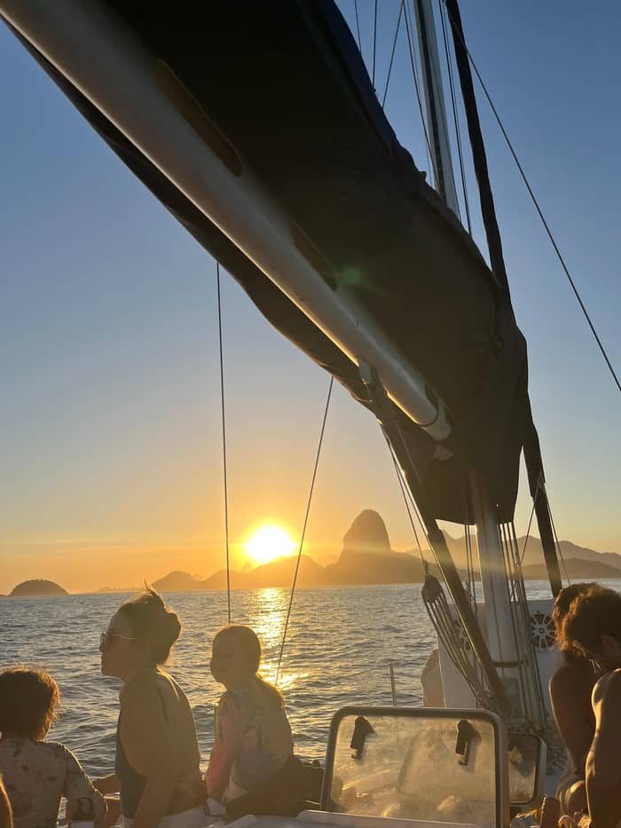
Ceremony
Islands and chapels
Sail the bay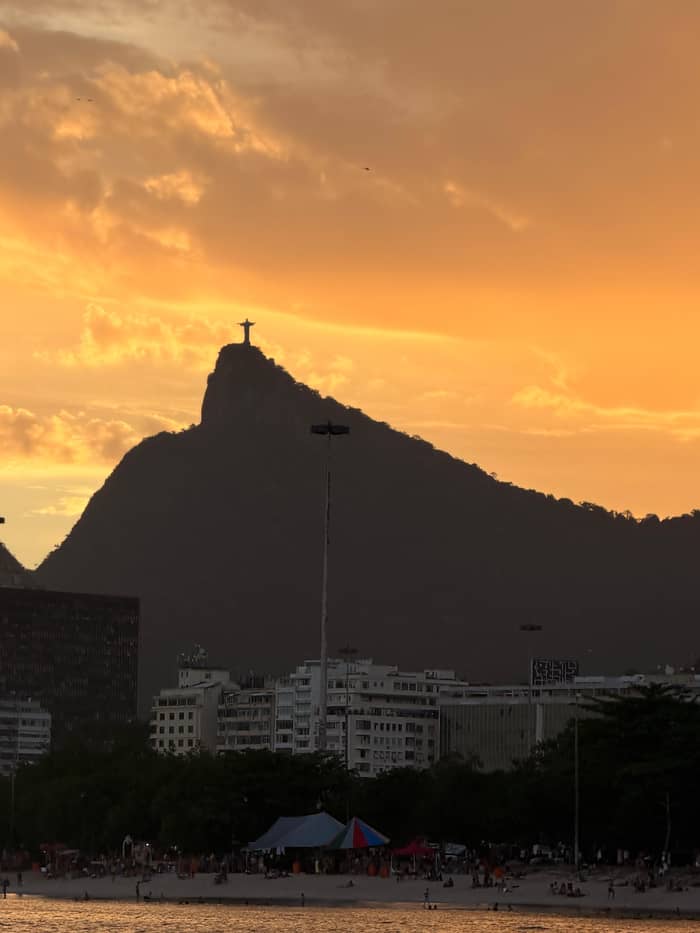
Icons
Bridge and museum
Sail the bayInside the bay, away from the guns at the entrance, the islands tell gentler stories. Boa Viagem Island, off the Niterói shore, traces its history to 1650 and the chapel of Nossa Senhora da Boa Viagem, according to the city of Niterói.13 Its name means Good Voyage, and the city says it became a place of pilgrimage for sailors giving thanks for safe passages and asking blessings for the next one.18
The chapel's story mirrors the bay's. It was destroyed during the French invasion of 1711 and rebuilt in 1780 in neoclassical style.17 Historical records place the start of the small fort beside it in 1702, so even this place of prayer had guns.46 Today the island is restored and open to visitors from the Niterói side, and the sunset sail pauses beside it for photographs from the water.
Deeper in the bay, near the old city center, sits Ilha Fiscal. Brazil's National Archives describe it as the scene of the last ball of the Empire, held in 1889.5 Riotur notes that the Republic was proclaimed only days later, ending the monarchy in Brazil.47 The island's small palace still keeps the memory of that night, and visitors can tour it on land. From the water its turret and pointed windows make it look like a toy castle afloat.
Sail into the story
Set the trip and your headcount to compare.
Review 4 options
Set the trip and your headcount to compare.
≈
View≈
View≈
View≈
ViewAll amounts are from-prices on GetYourGuide, converted at the ECB reference rate. Exact prices are shown at booking.
The last century added landmarks of its own, built on a scale the colonists could not have imagined. The Rio-Niterói Bridge opened on 4 March 1974, according to ANTT, the federal land transport agency.10 It runs for 13.29 km, 8.83 km of them over the water, and its central steel span stands 72 meters above the sea so that large ships can pass beneath.19,48 Today about 150,000 vehicles cross it every day.49
On the Rio shore, Santos Dumont Airport sits in the heart of the city, with domestic flights taking off over the bay.27 Beside it, Marina da Glória, where the sunset sail begins, hosted the sailing events of the 2007 Pan American Games and the 2016 Olympic Games, according to Riotur.20 The bay that once tested Portuguese caravels became a racecourse for Olympic crews from around the world.
Across the water, Niterói added a modern icon of its own. Oscar Niemeyer's Niterói Museum of Contemporary Art opened its doors on 2 September 1996, on the Boa Viagem headland.14 The city says more than 3.5 million people have visited it since then.50 From the bay, the building and the old chapel on the island below it share a single frame, centuries apart and only a few hundred steps away from each other.
Video
GEDEON DOC on YouTube · The video only starts loading on your tap.
Until the 1950s, every visitor who arrived in Brazil by ship passed under the watchful eye of the garrison of the Santa Cruz fortress.
History on land
In 2012 UNESCO added the site known as Carioca Landscapes between the Mountain and the Sea to the World Heritage list, and IPHAN says the forts at the bay mouth form part of that site, framing the entrance to the bay.6 The Brazilian Ministry of Tourism describes it as the first urban site in the world to receive the title of Cultural Landscape.51 The bay is not a backdrop to that landscape; it is its center.
That idea is easier to grasp from the water than from any viewpoint. On land you see one piece at a time: a beach, a hill, a fort. Out on the water between the headlands, you see how they fit together, with the forest-covered mountains, the granite peaks, the old defenses and the modern city all arranged around a single sheet of water. Rio de Janeiro sunset sailing on Guanabara Bay puts you right at the center of that view.
Protection also explains why so much of the shore at the bay mouth looks green rather than built over. IPHAN's listing covers the hills and beaches around the forts at the entrance are listed, under Army care, as part of the landscape of the bay mouth.26 As you sail past them at dusk, the green slopes above the walls look much as they must have looked to the sailors who first mistook this calm water for a river.
The bay is a working, urban body of water, and its wildlife lives alongside ports, ferries and a city of millions. Frigatebirds are the easiest to spot. Federal conservation scientists at ICMBio report that the frigatebirds nesting on the Cagarras islands commute across open water to fish in Guanabara Bay and head back to their islands as evening falls.45 On a sunset sail you may see them gliding overhead, heading back out to sea.
The same agency is frank about the water. It notes that the Cagarras islands, outside the bay, are also affected by polluted water flowing out of Guanabara Bay.52 That is an honest reminder that decades of growth around the bay have left their mark. A swim stop near the bay mouth, where the water exchanges with the open sea, is a different matter from the inner bay near the port, and the crew decides where and whether to swim.
If wildlife is the main reason for your trip, the open sea beyond the bay offers more. Boats to the Cagarras and the Tijuca islands look for turtles, dolphins and seabirds.34 From June to November humpback whales breed in Brazilian waters.53 Those trips are covered in our guide to other boat trips from Rio. Inside the bay, enjoy the birds, the light and the history, which this water offers in abundance.
FAQ
The bay's first inhabitants called it Ganabara, also written Guanabara.7
Colonists founded the city at the site of today's São João fortress in Urca.3
The forts at the entrance are part of the Carioca Landscapes site, inscribed in 2012.6
The Army runs its own visitor program at Santa Cruz da Barra.25
Sources
Planning a sail on the bay? Ask a real person.